What do Surveyors do?
Surveyors in Aotearoa NZ are land and measurement experts who do a huge variety of different work. Some of what we do includes:
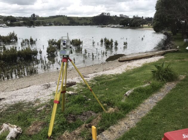
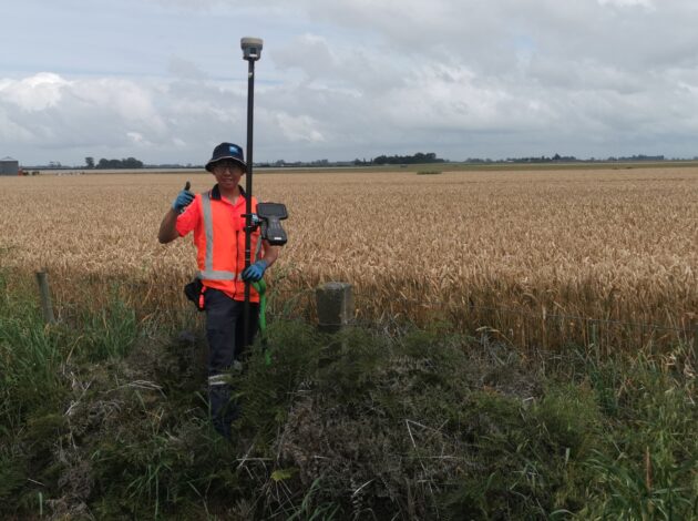
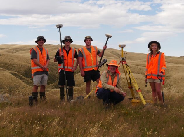
- Measuring and mapping land, buildings, and other structures as well as rivers, lakes and the seafloor
- Using advanced technology and equipment to gather spatial data (data representing physical objects and their location in the world)
- Creating precise plans and maps in 2D and 3D
- Providing advice on land use and development
- Assisting in resolving disputes related to property boundaries and ownership
- Subdividing and developing land for residential, commercial, and industrial occupation
What sort of people would a career in surveying appeal to?
A career in surveying may be a good fit for anyone who has an interest in geography, mathematics, and technology. Surveyors are typically people with:
- Strong problem-solving and analytical skills
- Attention to detail
- Technical aptitude and proficiency with technology, such as computers and mobile devices
- Good communication and interpersonal skills
- Ability to work independently or as part of a team
- Willingness to work outdoors and in potentially challenging weather conditions
- An interest in land use and development
Survey Assistant
Survey assistant is the entry-level role in surveying, and it’s a very important job. Work opportunities are available to school-leavers, with on-the-job training provided. Their work includes making field measurements using GPS systems, total stations, Unmanned Aerial Vehicles (drones), laser scanners and other equipment. They usually start off working as part of a team, and as they gain more experience they often take sole responsibility for field tasks.
Survey Technician
For experienced and/or qualified survey assistants, the next step on the career ladder is Survey Technician. Technicians are the practical surveying experts. They may start out with a tertiary qualification such as the NZ Diploma in Surveying Level 6 from Toi-Ohomai or Unitec. Their work includes preparing calculations for fieldwork, supervising and leading the work of survey assistants and ensuring that work is undertaken correctly. They also will capture field measurements using GPS systems, total stations, Unmanned Aerial Vehicles (drones), laser scanners and other equipment, and back in the office prepare models and drawings in software using the captured data.
Graduate Surveyor
A university degree in surveying is the pathway into the higher levels of the profession. In New Zealand you can study at Te Kura Kairūri, the National School of Surveying which is based at the University of Otago in Dunedin. The Bachelor of Surveying is a 4 year professional degree in which you will cover diverse topics which may include:
- Cadastral Surveying
- Land Development Engineering
- Urban Design
- Land Tenure
- Statutory Planning
- Geographic Information Systems
- Geodesy and Astronomy
- Hydrographic Surveying
- Engineering Surveying
- Remote Sensing and Photogrammetry
- Project Management
- Environmental Engineering
Many students find surveying work in their university holidays, before graduating and taking up full-time employment. Graduate surveyors continue training and gaining experience on the job, and eventually they may specialise in one of the many surveying disciplines such as:
- Cadastral Surveying – Surveying related to property boundaries and titles
- Land Development – Designing and building new residential, commercial and industrial properties and the related roads, pipes and other facilities
- Engineering Surveying – Surveying to ensure buildings, bridges, tunnels and other structures are built correctly
- Hydrographic Surveying – Measuring and charting the floor of lakes, rivers and the sea
Licensed Cadastral Surveyor
Many graduate surveyors choose to qualify as a licensed cadastral surveyor (LCS), a professional surveyor licensed under law to carry out surveys of property boundaries and interests. Becoming an LCS requires a surveying degree as well as work experience and evidence demonstrating a range of competencies set by the Cadastral Surveyors Licensing Board. The process of qualifying for a license typically takes 3-5 years after graduation.
If you are a graduate surveyor looking to take the next step towards licensing, or a surveyor qualified outside NZ, make sure you contact the CSLB examinations coordinator by email at examinations.coordinator@cslb.org.nz.
Want to learn more?
"*" indicates required fields